Showroom
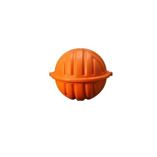
An RFID electronic marker, buried up to 5 feet deep, uses robust construction and RFID technology to precisely track utilities underground. As passive transponders, they respond to RF signals from handheld readers, aiding in utility management and maintenance, thus enhancing safety and efficiency in underground infrastructure.
An electronic marker, customized with colors and frequencies, is vital for marking underground utilities. Built to last, they emit strong electronic signals, aiding precise location and identification. Their durability and reliable signal transmission enhance safety and efficiency in managing underground infrastructure, crucial for preventing damage during construction and excavation.
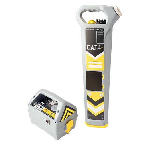
Cable avoidance tools (CATs) are handheld devices used in construction and utility maintenance for accurate detection of underground cables and pipes, ensuring safety during excavation. Employing electromagnetic or ground-penetrating radar technology, they offer precise location with ergonomic design and rugged construction, essential for various applications, including construction and landscaping.
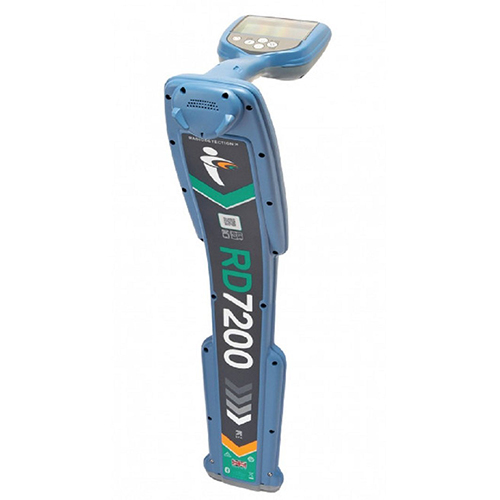
A pipe and cable locator, or route tracer, is a semi-automatic tool made of plastic, featuring frequency speed control. It's manually controlled and not computerized, designed for locating underground pipes and cables in construction and utility maintenance. Its performance ensures precise detection, enhancing safety and efficiency on worksites.
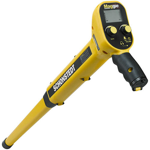
A Magnetic Metal Locator, a handheld device, detects ferrous metals underground via a sensor picking up magnetic fields emitted by metal objects. Its applications span construction, archaeology, and utility locating, ensuring precise detection at various depths, thereby enhancing efficiency and safety measures.
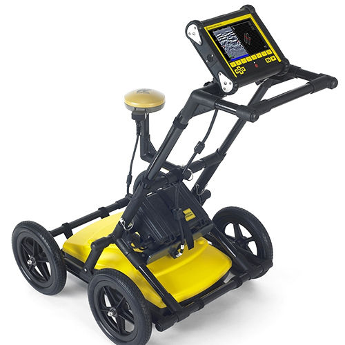
Ground Penetrating Radar (GPR) utilizes non-destructive imaging to detect subsurface structures. It emits radar pulses from an antenna unit into the ground, reflecting off buried objects to provide data on their location and depth. GPR serves various fields such as archaeology, geology, engineering, and utility locating.


